Unsolicited AAR for a Concord-Centric Plague Doctor 12 Miler
All F3 Dads BackblastsApril 12th, 2020
References
- Plotted Course: https://goo.gl/maps/sy4oCELcvF4R4ZG47
- What actually happened: https://www.strava.com/activities/3285735141
9-Volt and I had signed up for the A Shau Valley Light and my entire crew for the 10K Star Course to follow. This was not to be. Given the #beatf3louisville challenge to log miles and my son’s appetite for a patch – Saturday seemed perfect and he was in for 12 miles.
Route Plotting
Up until that morning, I decided to pull GORUCK’s 12 miler for Charlotte. It was then that I noticed that any route could have had a significant amount of the miles on Billy Graham Parkway. My one job is to get my kids to adulthood and a long walk on the shoulder of BGP seems to challenge that. I didn’t make an executive decision, but I asked 9-Volt “Do you want to do Charlotte or Concord?” He chose Concord. I got on Google Maps and put together a route that could incorporate the following:
- His birthplace (Northeast)
- Downtown Concord (in particular the Forest Hill sign and survey point)
- His grandmother’s shop in Kannapolis
- The greenway along Branchview
Start Point and First Leg
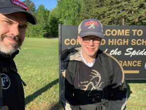
I figured Concord High School would be a solid location to start this journey. It also works out it was my alma mater. We parked the car in the teachers’ lot and set out with with prescribed ruck weight on a brisk morning. The first leg would take us from Concord High School to his birthplace – the Miram Cannon Hayes Family Center at AtriumNortheast.
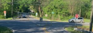
We came up to cross Branchview. Fun historical fact: In the late 1990s, a Concord High School student appealed to her local officials to get a proper traffic study of the intersection of Miramar and Branchview with a petition signed by students and just about everyone on the payroll of Concord High School. That student was 9-Volt’s aunt and my sister. The reason you can only make right-hand turns from Miramar at that intersection was because of that petition and a half-assed job by NCDOT. She petitioned for a light. Anyhow, in another universe, there’s no modifications to that intersection and a student that didn’t see gradation. Good job, sis.
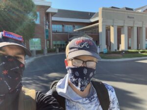
En route to the hospital, we walked past 9-Volt’s grandmothers place and we said our hellos from the road, well within social distancing guidelines. We walked past Beverly Hills Park and up to the hospital. We put our masks on to keep the side-eyes to a minimum. Took our picture and cut out towards the northern-most point of the journey.
Heart Gifts Leg
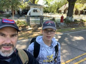
Heart Gifts is this country’s largest independent producer of inspirational ornaments, is HQed in Kannapolis and founded by the lady we just greeted from a distance: my mom. We chose to avoid US29 shoulder and walked through the various parking lots of Chick-fil-A…Mayflower…Moe’s, McDs, Kangaroo… to the excavated remnants of what was once the Kannapolis Highway at US29 and under the North Carolina Railroad into what appears to be a pedestrian walkway and back onto the Kannapolis Highway. The walk up the Heart Gifts didn’t have too many sidewalks and there was a lot of dodging traffic on limited right-of-way, but we made it.
Long Leg to Forest Hill
We took a quick break and started on the 3.6 mile leg to the Forest Hill sign on Buffalo & Union. We headed back down the goat trail and when we got back to the pedestrian underpass, I told 9-Volt “The trickiest part was over”. Main Street and Kannapolis Highway have limited sidewalks and traffic moving about 40-50MPH. Not the safest.
I decided to walk along US29 on the return trip and regretted not cutting through the parking lots as we had previously. The walk down Church Street did uncover this ancient landmark.
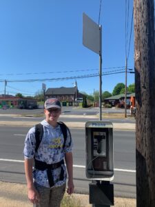
I didn’t want to think about touching it with the given plague. We continued to the Forest Hill sign.
What’s Forest Hill?
To get a sense of how much Concord has grown. Forest Hill was OUTSIDE of the Concord City Limits in when it was founded in 1887 as a mill village. The church in front of the sign was established for the mill behind the sign. And the village was incorporated into the city 90 years after the city of Concord was founded (1790-something). For perspective, in the past 90 months the City of Concord has almost doubled in size (about 50K in 2000 to about 96K now)
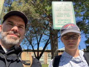
Also, putting Forest Hill and the old Courthouse (or survey marker – more on that later) guarantee you’ll be routed down Union Street on a Star Course.
Courthouse Waypoint and Change in Plans
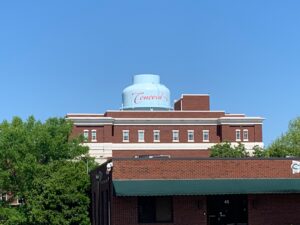
After a short break, we headed down Union Street and I got diverted on Marsh Ave to get a picture of what’s now the Glenn Center and what was for Concord GenXers the Middle School (and for Boomers, the High School). This was the school that greeted me when my family moved here.
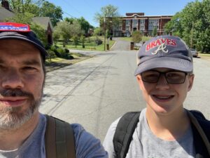
It was at that point that 9-Volt pointed out he had a friend who lived nearby and it’d be cool for him to go and say “Hi” with his GR gear and mileage. I agreed. I know that the M had lived nearby and I changed the routing for his friend’s house and the M’s old homesites. We snapped a picture from Spring Street of the Courthouse at a distance that would not have met Star Course distance standards.
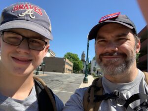
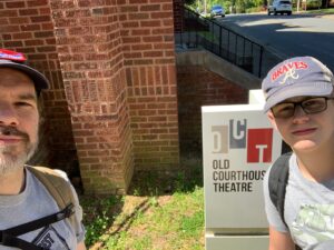
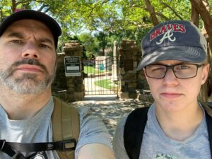
We headed up Spring and cut over to the corner of Corban and Union where we we got the following two pictures.
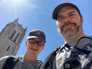
The belfry in the picture is that of St. James Lutheran Church. When he was a kid 9-Volt’s uncle (my brother-in-law) hijacked the bells and played “Twinkle Twinkle Little Star” on those bells.
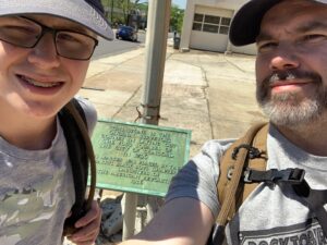
Also pictured is a rock which was used as the datum for the original survey of Concord. Which brings up an interesting landnav lesson. Cities in North Carolina are split up into 4 “corners” – Northeast, Northwest, Southeast, and Southwest. Understanding this explains why East Boulevard turns into West Boulevard in Charlotte and why your streetname has “Northwest” or “North” in it. Not understanding this puts you on the wrong side of town. An insidious cadre could use this to their amusement. For reference, in Concord this center is no longer this rock, but the intersection of Union & Cabarrus.
We headed down to his friend’s house (no picture, because that’s weird) and then I informed him that we could plot out a course to Endex and qualify for the patch or we could take pictures in front of his mom’s old houses. He chose Endex and I deleted those waypoints.
Last Leg
We headed up through a great little neighborhood along a totally excavated Virginia Avenue to Corban. It was at Branchview that I decided that I didn’t want to play chicken with a limited right-of-way and chose to detour through Lenmore and Karen to Deal. I wouldn’t do that again…we went up and down some unnecessary grade. A better choice would have been to head up Corban to Deal.
The only item of note is that Deal ends into Old Salisbury and then you’ve got a few hundred feet until Burrage…but you make the crossing at a blind hill where people are going pretty fast. If you find your rucking team there…post a crossing guard.
The last sidewalk we experienced until we got to Concord High was Corban, but Burrage and Deal are pretty popular running and bicycling areas – so drivers are used to dodging that traffic…the same cannot be said for Branchview.
Endex
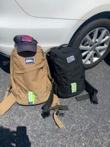
After 4:36 elapsed (I missed about 1/2 a mile starting my watch), we arrived at the car. 9-Volt said, “I’ve never been so happy to see your car”. His feet were in good shape. Mine: not so much. I think my shoes had seen better days.
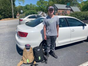
Moleskin
- It was good to contribute 26 miles to #beatF3Louisville
- 9-Volt is set to be a formidable teammate for GORUCK events. At the last Santa light, he had plenty of time under the litter. He showed he could handle the distance of a Light or even a Tough on Saturday.
- Concord High makes a good Star Course point if you want to include moving through downtown, but want to add some distance. You can point out the history of Concord by include the Glenn Center and that being the original high school for Concord. However, you want to work out other points in order to avoid too much time on Branchview (the Hospital or Mall will take you up Miramar).
- The original route put in Les Myers park to allow for some greenway time, but that didn’t happen after we made the call to cut to Endex. Highly recommend some greenway mileage. Shoving in both Les Myers and Mickey McGee park into your star course makes that happen (it’ll route you via Branchview, but ignore that noise)
- I would’ve added more points along Union (the Jefferson Davis-slept-here-as-he-was-retreating-but-we-don’t-mention-that Historical Marker, Statues around the Old Courthouse, Memorial Gardens, Old Courthouse Theater, etc.). We took some pics along the way